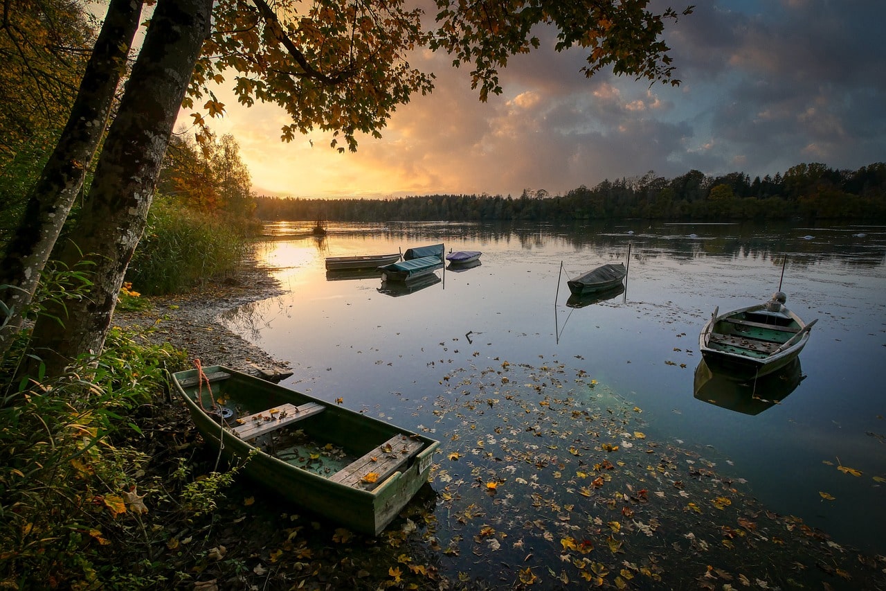
The Gouin Reservoir, known in French as Réservoir Gouin, is a vast artificial lake located entirely within the boundaries of the City of La Tuque in Quebec, Canada. Unlike a single continuous body of water, the reservoir consists of a series of interconnected lakes, separated by numerous bays, peninsulas, and islands that give it a highly irregular shape. This unique formation results in an extensive shoreline stretching over 5,600 kilometers despite its surface area being 1,570 square kilometers. The reservoir serves as the source of the Saint-Maurice River.
Geographically, the Gouin Reservoir spans several cantons from north to south, including Mathieu, Verreau, Lacasse, Toussaint, McSweeney, Magnan, Lindsay, Hanotaux, Cremazie, Lemay, Marmette, Brochu, Déziel, Poisson, Evanturel, Myrand, Chapman, Nevers, Aubin, Levasseur, Achintre, Sulte, Huguenin, Delage, Leblanc, and Bureau. The complex network of waterways, totaling 275 kilometers, makes it a prime location for fishing, with numerous commercial outfitters and private lodges lining its shores. Visitors can enjoy various recreational activities such as hunting, fishing, ATV excursions, snowmobiling, nautical expeditions, and photographic hunting. These outfitters also offer equipment supply and maintenance services, typically featuring marinas providing various boating services.
The reservoir is named after Jean Lomer Gouin, the Premier of Quebec, when the Shawinigan Water & Power Company created the reservoir in 1918 for hydroelectric development. The Gouin Reservoir, with a 600 MW power station, plays a crucial role in regulating the flow of the Saint-Maurice River for downstream power stations, all operated by Hydro-Québec. Initially, the reservoir aimed to facilitate timber floating to paper mills along the Saint-Maurice River. Over time, it was expanded to include water storage and flood control, with significant modifications made in 1948 to raise water levels and divert headwaters from rivers such as the Mégiscane and Suzie Rivers to the Saint-Maurice Rivers.
The Atikamekw community of Obedjiwan is located on the reservoir’s north shore. The village was relocated from its original site near Obedjiwan Lake, which was flooded during the reservoir’s creation. Another community, Oskélanéo, connected to the reservoir via Oskélanéo Lake and River, emerged following the arrival of the transcontinental railway in 1910. The village served as a supply depot and access point for northern Quebec, supporting hunting, fishing, and forestry activities.
Although no paved roads lead directly to the Gouin Reservoir, it is accessible via several forest pathways, snowmobile trails, and by air. The north side can be accessed from Obedjiwan via routes R1045 and R2046. The east side connects through Forest Road 451 from Gouin Dam to Wemotaci and La Tuque. The south side is accessible via Forest Road 400, while the west side can be reached using Forest Road R1009 along the Pascagama River.

