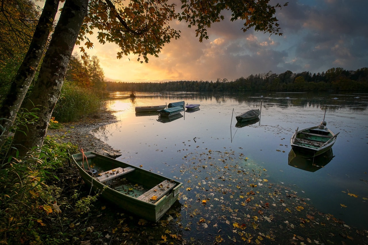
Rangeley Lake, located in Franklin County, Maine, is a stunning body of water fed by numerous streams. Its waters flow from the lake’s northwestern corner through the Rangeley River into Mooselookmeguntic Lake, then into Upper and Lower Richardson Lakes, Umbagog Lake, and ultimately the Androscoggin River, before reaching Merrymeeting Bay, the lower Kennebec River, the Gulf of Maine, and the Atlantic Ocean. This intricate network of water bodies is a crucial part of the region’s hydrology, with Rangeley Lake serving as a significant source. Situated roughly 10 square miles (26 km2) above sea level, the lake has a surface area of 1,518 feet (463 meters). The lake is shallow near the shore but features a central basin with an average depth of about 95 feet (29 meters) and a maximum depth of 149 feet (45 meters).
Rangeley Lake, primarily situated in the town of Rangeley, with its southern edge in Rangeley Plantation, is more than just a geographical feature. It’s a central part of the local communities, serving as a beloved backdrop for the village of Rangeley on the northeastern shore at City Cove, and the village of Oquossoc at the lake’s outlet in the northwest. Within Rangeley Lake, Maneskootuk Island, also known as Doctors Island, lies in the eastern part, and a small group of islands known as South Bog Islands is located in the western part.
One of Rangeley Lake’s most intriguing features is its seaplane base, designated as United States Aerodrome M57—Rangeley Lake Seaplane Base. This base includes a water landing zone for seaplanes and is notable for being one of the few aerodromes globally to have a GPS instrument approach aligned specifically for water landings and an NDB approach.

