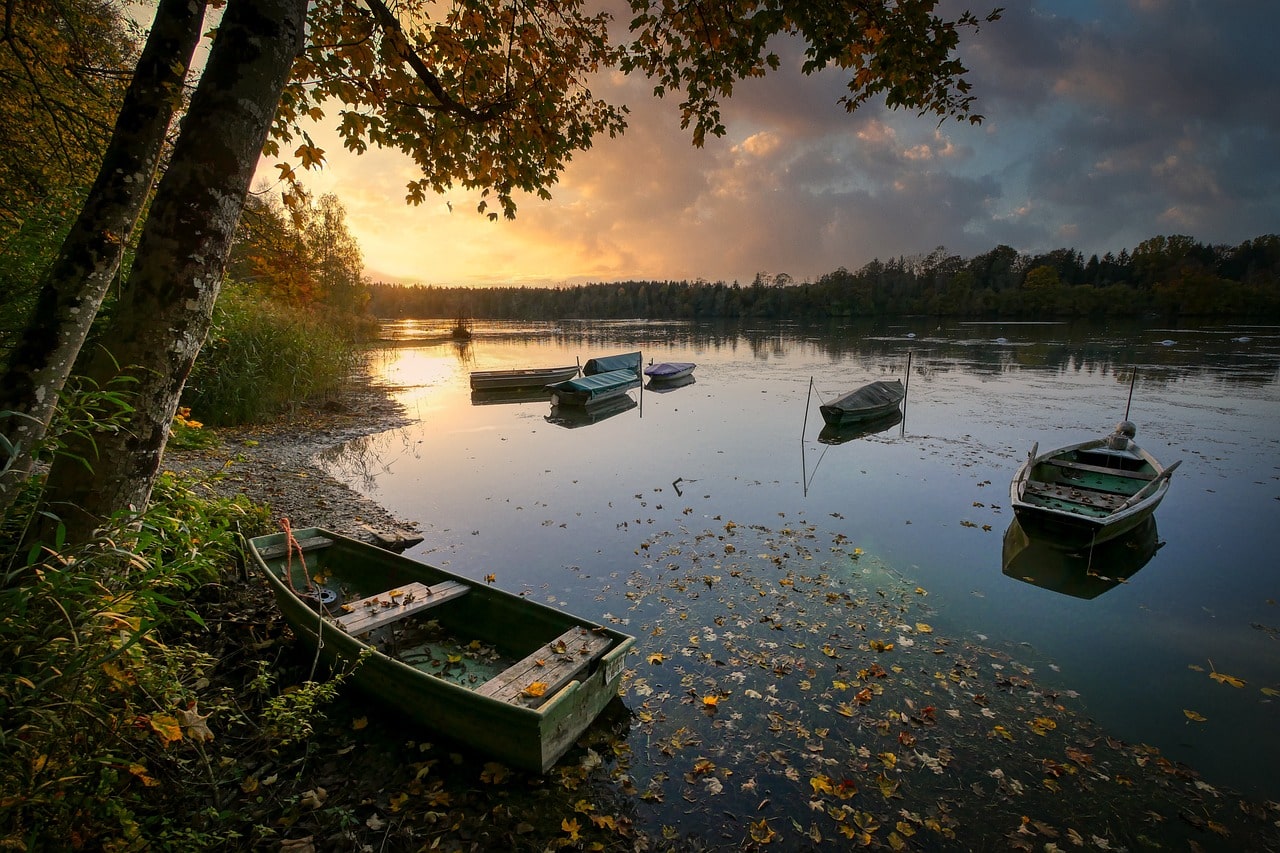
Rock Lake, located in eastern Washington, is the deepest and largest scabland lake created by the Missoula Floods. It stretches over 7 miles long and averages 1 mile in width, with depths exceeding 360 feet. The lake’s primary water sources are Rock Creek and Negro Creek. It lies approximately 30 miles south of Cheney and is accessible mainly via a landing area on the southern end. Most of the shoreline is inaccessible to vehicles, with a few private properties scattered around.
The lake’s steep basalt cliffs and stone pinnacles pose significant navigation hazards, contributing to several boating accidents. The shoreline is also known for rattlesnakes, especially during spring and summer. Despite these challenges, Rock Lake is a popular fishing destination, with species such as crappie, brown trout, bluegill, and rainbow trout.
Along the eastern coast runs the John Wayne Pioneer Trail, accessible to the public via a converted rail trail. Although the challenging topography has hindered these efforts in the past, there have been considerations for dam construction at the mouth of Rock Lake to stabilize the water supply. Recent interest has been renewed in impounding 110,000-120,000 acre-feet of water for consistent flow throughout the year.

